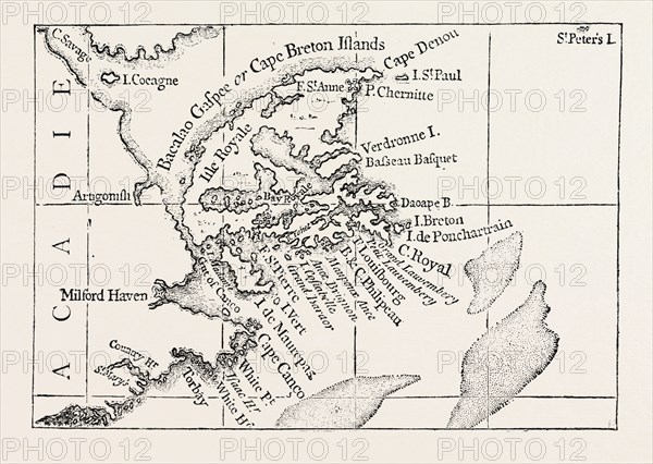
Caption
MAP OF CAPE BRETON. From Popple' s Atlas. CANADA, 1870s engraving
Date
1870
Credit line
Photo12/Liszt Collection/Quint Lox Limited
Reference
LZT13A39_349
License type
Rights managed
Available size
50.8Mb (2.6Mb) / 16.7in x 11.8in / 5000 x 3550 (300dpi)