Caption
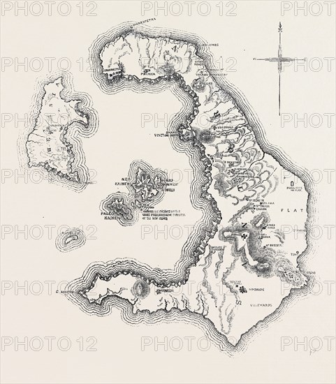
MAP OF THE ISLAND AND BAY OF SANTORIN, IN THE GREEK ARCHIPELAGO, 1866
Date
1866
Credit line
Photo12/Liszt Collection/Quint Lox Limited
Reference
LZT13A06_382
License type
Rights managed
Available size
62.6Mb (3.2Mb) / 14.6in x 16.7in / 4378 x 5000 (300dpi)