Title
Portolano
Caption
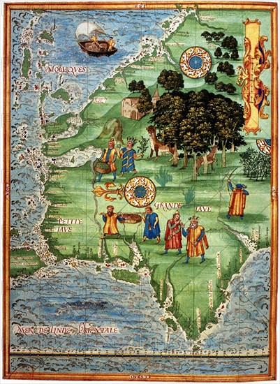
The Portulan maps (portolanos) were for navigators. They outline the coasts and show distances between points. This one by Guillaume Le Tetu, dates from 1556.
Credit line
Photo12
Reference
INV00002_253CART2
Model release
No
License type
Rights managed
Available size
6.6Mb (855.6Kb) / 4.3in x 5.9in / 1292 x 1772 (300dpi)