Title
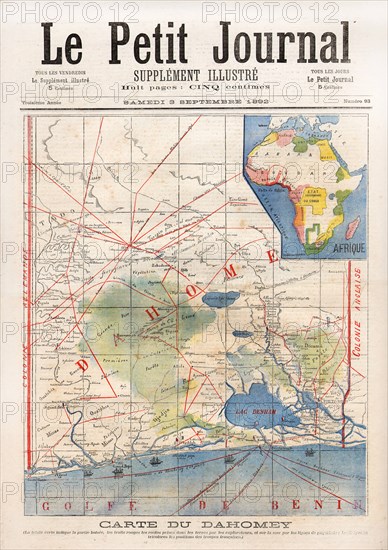
Map of the Dahomey
Caption
From 'Le Petit Journal' n°93 dated September 3, 1892.
Map of the Dahomey, formerly Republic of Benin. Africa.
Date
Sep 03, 1892
Credit line
Photo12/Hachedé
Reference
HAC10A05_226
Model release
No
License type
Rights managed
Available size
111.8Mb (12.1Mb) / 17.5in x 24.8in / 5256 x 7434 (300dpi)