Title
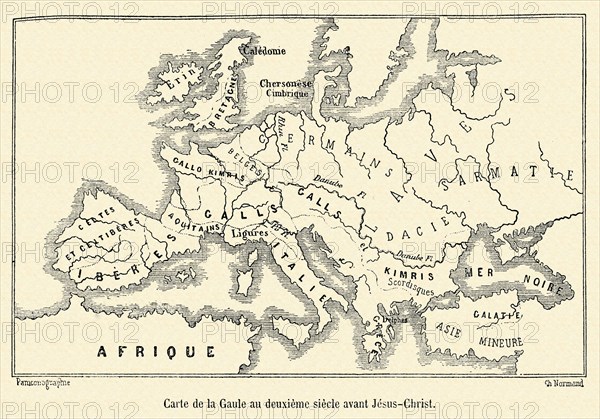
Map of Gaul in the 2nd Century BC.
Caption
Map of Gaul in the 2nd Century BC. 19th Century engraving.
Date
19th century
Credit line
Photo12/Hachedé
Reference
HAC07253_2006_PAJC0026
Model release
No
License type
Rights managed
Available size
49.2Mb (2.9Mb) / 16.5in x 11.6in / 4961 x 3469 (300dpi)