Title
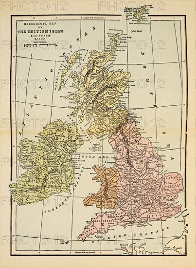
Historical Map of British Isles Since A.D. 1066
Caption
Historical Map of British Isles Since A.D. 1066
Date
Sep 10, 2018
Credit line
Glasshouse Images/Photo12
Reference
GLS18A31_489
Model release
No
License type
Rights managed
Available size
49.4Mb (4.6Mb) / 11.9in x 16.2in / 3559 x 4848 (300dpi)