Title
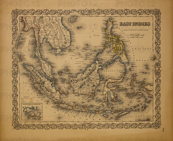
Map of East Indies, 1855
Caption
Map of East Indies, 1855
Date
Jan 06, 1855
Credit line
Glasshouse Images/Photo12
Reference
GLS18A29_005
Model release
No
License type
Rights managed
Available size
48.9Mb (4.4Mb) / 15.2in x 12.5in / 4562 x 3747 (300dpi)