Title
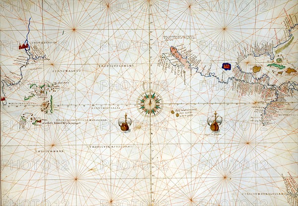
Map of the Pacific Ocean, from China to America
Caption
Battista Agnese (1500-1564)
Italian School
Italian School
Pacific Ocean, from China to America, with the Tropics of Cancer and Capricorn. Atlas of the World, in 33 maps
Date 1 September 1553
Dimensions, closed atlas: 29 x 49 cm
Venice, Correr Museum.
Date
Sep 01, 1553
Credit line
Alfredo Dagli Orti/Photo12
Reference
DGL15A00_181
License type
Rights managed
Available size
118.3Mb (6.0Mb) / 25.8in x 17.8in / 7728 x 5351 (300dpi)