Title
Map of the Indian Ocean
Caption
Battista Agnese (1500-1564)
Italian School
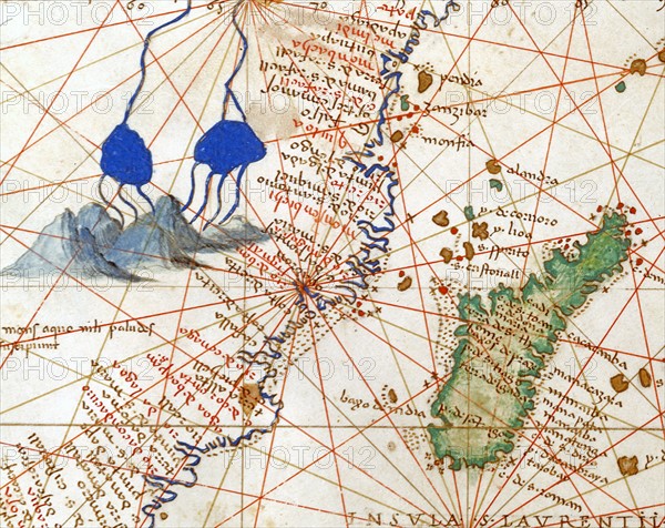
Indian Ocean. Detail of the Course of the Nile and the Mountains of the Moon, described by the Ancients as the source of the Nile. On the right, the island of Madagascar. Atlas of the World, in 33 maps
Date 1 September 1553
Dimensions, closed atlas: 29 x 49 cm
Venice, Correr Museum.
Date
Sep 01, 1553
Credit line
Alfredo Dagli Orti/Photo12
Reference
DGL15A00_178
License type
Rights managed
Available size
149.8Mb (7.1Mb) / 27.1in x 21.5in / 8117 x 6450 (300dpi)