Title
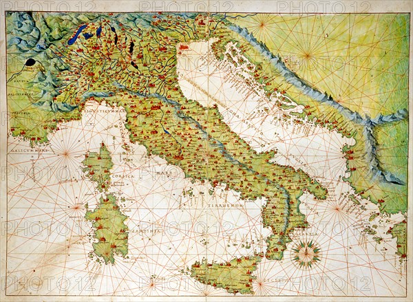
Map of Italy, Sicily, Corsica and Sardinia
Caption
Battista Agnese (1500-1564)
Italian School
Italy, Sicily, Corsica and Sardinia. Atlas of the World, in 33 maps
Date 1 September 1553
Dimensions, closed atlas: 29 x 49 cm
Venice, Correr Museum.
Date
Sep 01, 1553
Credit line
Alfredo Dagli Orti/Photo12
Reference
DGL15A00_165
License type
Rights managed
Available size
134.6Mb (8.1Mb) / 26.7in x 19.6in / 8016 x 5871 (300dpi)