Title
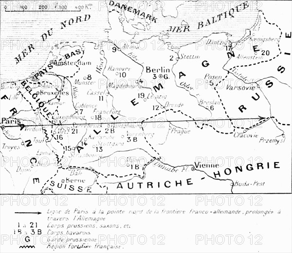
Map of the Franco-German border
Caption
First World War.
Line from Paris to the northern point of the Franco-German border extended across Germany.
Date
20th century
Credit line
Photo12/Archives Snark
Reference
DFS12A00_195
License type
Rights managed
Available size
63.2Mb (1.3Mb) / 16.8in x 14.6in / 5046 x 4379 (300dpi)