Title
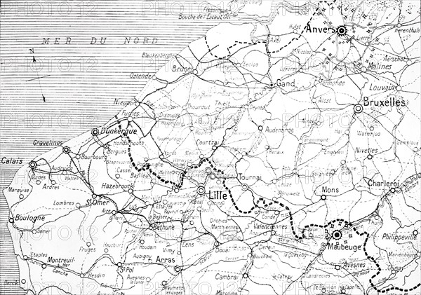
Map of the Franco-Belgian border
Caption
First World War.
Map of the region of continuous struggle on the Franco-Belgian border, near the North Sea and around Arras.
Date
20th century
Credit line
Photo12/Archives Snark
Reference
DFS12A00_166
License type
Rights managed
Available size
44.8Mb (2.8Mb) / 15.7in x 11.1in / 4723 x 3315 (300dpi)