Title
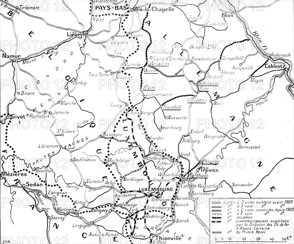
Map of Luxembourg and Belgium
Caption
First World War.
Map of the region where the path of the right wing of the German army is marked, crossing Luxembourg and Belgium
Date
20th century
Credit line
Photo12/Archives Snark
Reference
DFS12A00_146
License type
Rights managed
Available size
57.6Mb (1.8Mb) / 16.4in x 13.6in / 4926 x 4085 (300dpi)