Caption
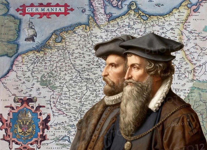
The cartographers Gerhard Mercator and Abraham Ortelius at work, digitally edited based on a historical map by Abraham Ortelius from his world atlas Theatrum Orbis Terrarum published in 1570, showing Germania, Holy Roman Empire of the German Nation
Date
Aug 07, 2026
Credit line
Photo12/ImageBROKER/Heinz-Dieter Falkenstein
Reference
BRK26H55_413
Model release
No
Property release
No
License type
Royalty free
Available size
135.9Mb (45.3Mb) / 26.9in x 19.6in / 8076 x 5880 (300dpi)