Caption
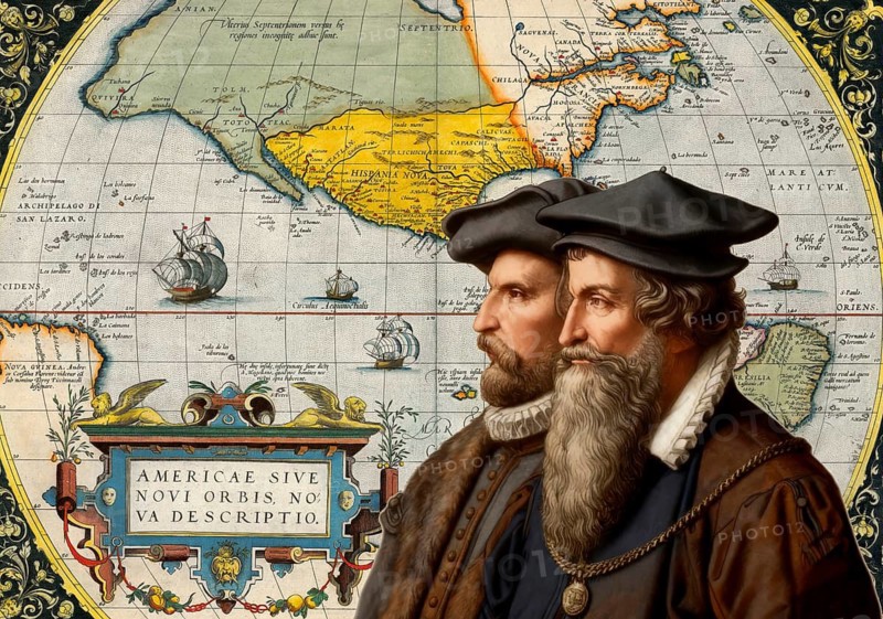
The cartographers Gerhard Mercator and Abraham Ortelius at work, digitally edited based on a historical map by Abraham Ortelius from his world atlas Theatrum Orbis Terrarum published in 1570, showing North America
Date
Feb 04, 2020
Credit line
Photo12/ImageBROKER/Heinz-Dieter Falkenstein
Reference
BRK26H55_230
Model release
No
Property release
No
License type
Royalty free
Available size
109.6Mb (36.5Mb) / 24.6in x 17.3in / 7392 x 5184 (300dpi)