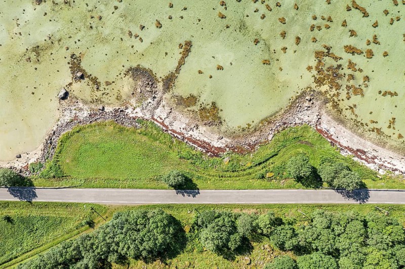
Aerial view of a bay at the Raftsund, road with trees, fjord between Lofoten and Vesteralen, Norway
Caption

Aerial view of a bay at the Raftsund, road with trees, fjord between Lofoten and Vesteralen, Norway

Date

Aug 05, 2021

Credit line

Photo12/ImageBROKER/Andreas Werth

Reference

BRK26G71_063

Model release

NA

Property release

No

License type

Royalty free

Available size

56.9Mb (19.0Mb) / 18.2in x 12.1in / 5464 x 3640 (300dpi)

Keywords

View from above deserted blue building tree water bay sand nature Lofoten Norway Scandinavian Europe sandy strait nordic Norwegian estuary structure Aerial road pattern landscape turquoise coast view Northern Europe european Fiord Scandinavia sea looking down travel photography Northern Norway Vesterålen Nordland Raftsundet Fiord landscape drone photography beach high-angle view no one waterfront cove open air Lofoten Islands aerial photography street scenery turquoise blue shore overlook North Europe Fjord view down Fylkes Nordland Raftsund Fjord landscape drone image beachfront top down view No People construction countryside turquoise green shoreline facing nobody landscape shot turquoise-coloured view into uninhabited landscape photo view over empty Overlook overview elevated view Blue buildings trees waters bays straits estuaries structures Aerials aerial view aerial shot roads patterns landscapes coasts view of View of Fiords Vesteralen beaches high-angle shot airshot streets sceneries shores outlook Fjords drone shot photo with drone constructions bird's eye view Overlooking overviews from above overhead Europe's aerial photo aerial photos Straße designs landscape photograph costal with a drone from a drone aerial drone top view top views Top angle cala Aerial landscape aerial photograph drone photograph drone recording top down flight photo flight photos flight shot flight shots from the sky from the air drone photo drone photos drone view birds eyes view Bird eye view bird view bird perspective

Please log in to download the high resolution file