logo photo12.com logo photo12.com PHOTOGRAPHIC AGENCY
  • Photographers
  • Collections
  • Topics
  • Contact
  • My account
0
  • EN
    • Français
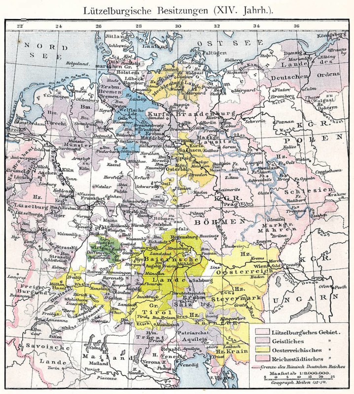
Historical map of the Holy Roman Empire under Charles IV, territory of the House of Luxembourg, 14th century
Caption

Historical map of the Holy Roman Empire under Charles IV, territory of the House of Luxembourg, 14th century

Date

Jan 30, 2017

Credit line

Photo12/ImageBROKER/Heinz-Dieter Falkenstein

Reference

BRK26D80_404

Model release

No

Property release

No

License type

Rights managed

Available size

147.7Mb (49.2Mb) / 22.7in x 25.3in / 6805 x 7584 (300dpi)

Keywords

deserted house building geography history emperor king prohibition orientation family Benelux Luxembourg German Bohemia Hungary Europe illustration depiction map information forbidden historic Middle Ages Czech european Hungarian Czech Republic geographic medieval age luxembourg Charles IV duchy Holy Roman Empire dynasty Central Europe 11th century no one home structure ban navigation Luxemburg representation prohibited historical In the middle ages Czechia image geographical mediaeval ageing Middle Europe 11. No People construction Benelux countries No nobody uninhabited empty houses buildings emperors kings prohibitions families illustrations depictions maps aging duchies homes historically images aged constructions royal Europe's depicting historical image history image history images image motif representing image motifs motif motifs

Please log in to download the high resolution file
Pic
  • Contact
  • Partners
  • Terms and Conditions
  • Legal mentions
  • About us
  • FNAPPI member