logo photo12.com logo photo12.com PHOTOGRAPHIC AGENCY
  • Photographers
  • Collections
  • Topics
  • Contact
  • My account
0
  • EN
    • Français
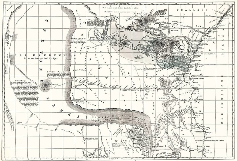
Map of Central East Africa with the suspected Lake Uniamési, now Tanzania, 1855
Caption

Map of Central East Africa with the suspected Lake Uniamési, now Tanzania, 1855

Date

Feb 21, 2008

Credit line

Photo12/ImageBROKER/Heinz-Dieter Falkenstein

Reference

BRK26D73_422

Model release

No

Property release

No

License type

Rights managed

Available size

105.7Mb (35.2Mb) / 24.5in x 16.8in / 7349 x 5027 (300dpi)

Keywords

deserted measure huge geography history Victoria expedition orientation water body of water lake territory nature Tanzania Africa illustration depiction map information historic African big landscape scientific science geographic East Africa plan 19th century geodetic earth's surface eastern Historic illustration country Cartography no one measurement giant navigation waterfront waters See open air representation historical large scenery scientific research geographical Eastern Africa nineteenth century east Historical illustration No People measuring gigantic great countryside research 1900s nobody enormous landscape photo uninhabited massive empty measures expeditions lakes territories illustrations depictions maps landscapes sciences plans 19th-century Historic illustrations countries historically sceneries Historical illustrations water body Water area open water Lake depicting historical image history image history images representing landscape photograph landscape shot

Please log in to download the high resolution file
Pic
  • Contact
  • Partners
  • Terms and Conditions
  • Legal mentions
  • About us
  • FNAPPI member