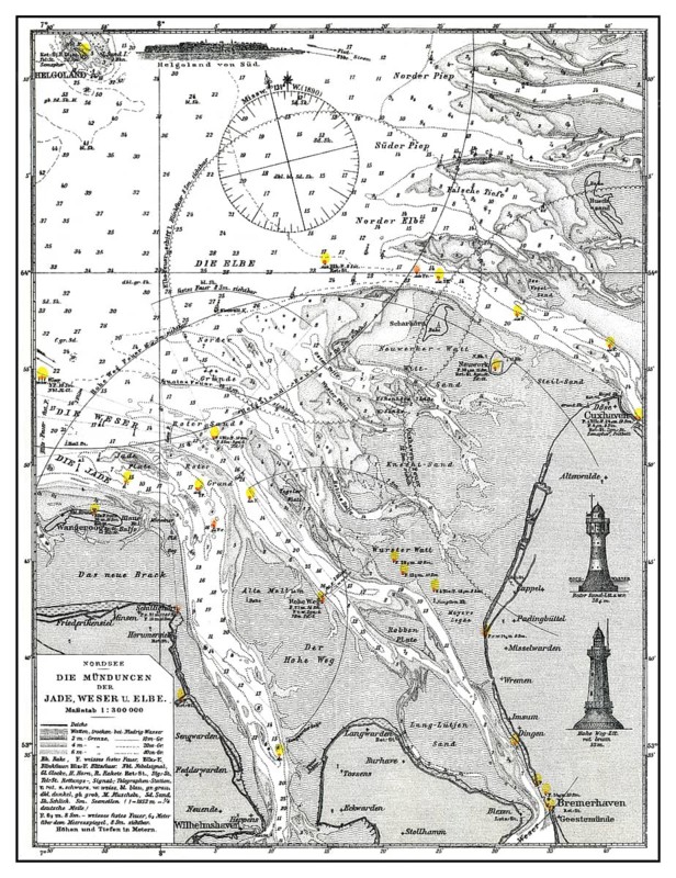
Caption
Historical hydrographic map, Baltic Sea, river mouth of rivers Weser and Elbe, 19th Century, historische Seekarte der Ostsee mit den Mündungen der Weser und Elbe, 19. Jahrhundert
Date
Nov 20, 2013
Credit line
Photo12/ImageBROKER/Heinz-Dieter Falkenstein
Reference
BRK26D61_297
Model release
No
Property release
No
License type
Rights managed
Available size
99.9Mb (33.3Mb) / 17.3in x 22.5in / 5185 x 6736 (300dpi)