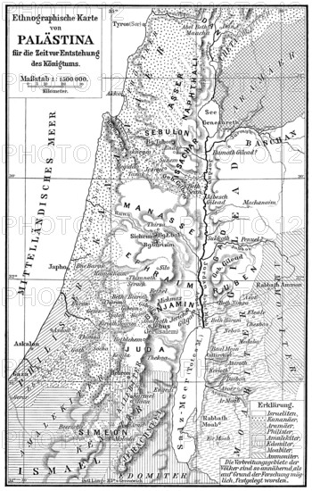
Ethnic map of Palestine, 1000 BCE
Caption

Ethnic map of Palestine, 1000 BCE

Date

Jun 28, 2020

Credit line

Photo12/imageBROKER/Heinz-Dieter Falkenstein

Reference

BRK26C85_283

Model release

No

Property release

No

License type

Rights managed

Available size

131.4Mb (9.6Mb) / 18.0in x 28.3in / 5410 x 8488 (300dpi)

Keywords

deserted city urban geography dirt poor orientation Asia Arabic map information historic Egyptian Jewish Jordanian neighborhood old town rundown cultural slum view Hebrew Syrian regional Near East Israel Jordan Syria poverty Western Asia geographic ethnic social issue Palestinian city view kingdom plan Palestine Gaza Strip West Bank Orient Canaan Downtown View over the city Levant Historic quarter dirty Assyrian no one town urban environment navigation Arabian historical district historic center deteriorated ghetto overlook Hebraic Middle East Kingdom of Jordan Syrian Arab Republic Southwest Asia geographical ethnical city portrait Palestinian territories midtown View over the town Historic district filthy No People municipal Arab neighbourhood historic centre facing Mideast Syrian Republic Southwestern Asia ethnicity townscape city center view on the city nobody historic city center view into Mid East West Asia cityscape city centre view of the town uninhabited historic city centre view over view of the city town center empty historic old town town view Town centre historical old town Overlook city scape Inner city old city overview Inner town old district Old town area cities maps old towns Jordanians slums view of View of Egyptians Israel's social issues Palestinians kingdoms plans Historic quarters historically outlook city portraits Historic districts townscapes cityscapes old historic town Overlooking city scapes overviews historical image history image history images Altstadt run-down decayed Urban view historic part dilapidated marooned in the centre of ramshackle derelict

Please log in to download the high resolution file