Caption
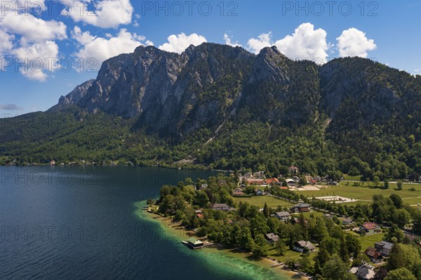
Drone image, Weißenbach am Attersee with Höllengebirge, Salzkammergut, Upper Austria, Austria
Date
May 13, 2024
Credit line
Photo12/imageBROKER/Wolfgang Weinhäupl
Reference
BRK26C59_289
Model release
No
Property release
No
License type
Royalty free
Available size
56.9Mb (5.6Mb) / 18.2in x 12.1in / 5464 x 3640 (300dpi)