Caption
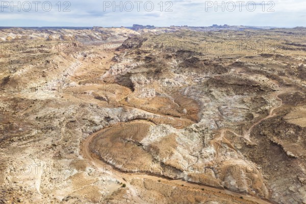
Aerial drone view captures the rugged and barren landscape of Hanksville, Utah, featuring winding dirt roads and sparse vegetation
Date
Jun 09, 2024
Credit line
Photo12/imageBROKER/Addictive Stock
Reference
BRK26C21_354
Model release
NA
Property release
No
License type
Royalty free
Available size
39.9Mb (5.2Mb) / 15.3in x 10.2in / 4575 x 3050 (300dpi)