Caption
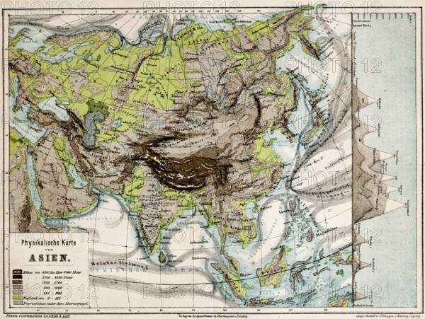
Colored physical map of the continent of Asia, altitudes, mountains, plains, lowlands, glaciers, depressions below sea level, currents, plate tectonics, latitudes, longitudes, topography, historical map from 1876
Date
Jan 27, 2026
Credit line
Photo12/imageBROKER/Wolfgang Diederich
Reference
BRK26B81_481
Model release
No
Property release
No
License type
Royalty free
Available size
81.1Mb (10.2Mb) / 20.5in x 15.4in / 6139 x 4617 (300dpi)