Caption
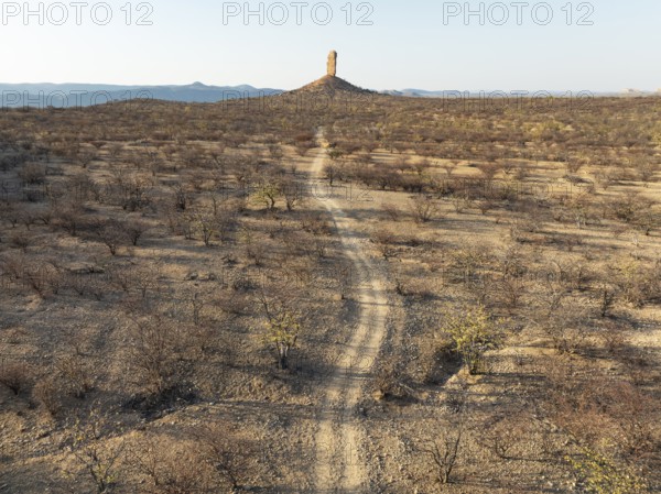
The Vingerklip (rock finger) is surrounded by thornbush and mopane (Colophospermum mopane) savanna. Aerial view. Drone shot. Damaraland, Namibia
Date
Aug 19, 2024
Credit line
Photo12/imageBROKER/Thomas Dressler
Reference
BRK26A33_472
Model release
No
Property release
No
License type
Royalty free
Available size
56.9Mb (6.4Mb) / 17.2in x 12.9in / 5154 x 3859 (300dpi)