Caption
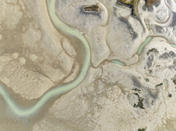
Network of channels and streams at low tide. In the marshland of the Bahía de Cádiz Nature Reserve. Aerial view. Drone shot. Cádiz province, Andalusia, Spain
Date
Jul 22, 2025
Credit line
Photo12/imageBROKER/Thomas Dressler
Reference
BRK25J70_287
Model release
NA
Property release
No
License type
Royalty free
Available size
58.5Mb (6.8Mb) / 17.5in x 13.0in / 5240 x 3905 (300dpi)