Caption
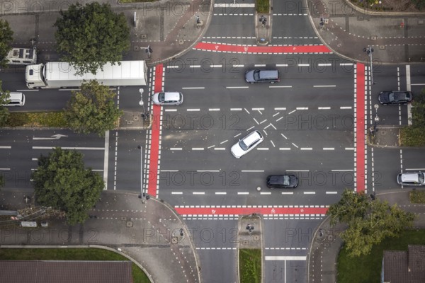
Aerial view, red cycle path marking at the intersection of Markgrafenstraße and Ruhrallee in the district Ruhrallee in Dortmund, Ruhr area, North Rhine-Westphalia, Germany, DE, Dortmund, Europe, aerial view, aerial photography, aerial photography, cycle path, overview, bird's-eye view, overview
Date
Sep 18, 2021
Credit line
Photo12/imageBROKER/Hans Blossey
Reference
BRK25J46_366
Model release
NA
Property release
No
License type
Rights managed
Available size
128,1Mb (13,7Mb) / 27,3in x 18,2in / 8192 x 5464 (300dpi)