Caption
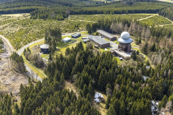
Aerial view, forest damage in a restricted military area, radar dome and radar station on Mount Ebschloh, Erndtebrück, Siegerland, North Rhine-Westphalia, Germany, tree mortality, mountain, DE, Europe, aerial view, aerial photography, aerial photography, restricted area, overview, bird's-eye view, forest, forest area, forest damage, forest mortality, bird's-eye view, overview
Date
Apr 12, 2021
Credit line
Photo12/imageBROKER/Hans Blossey
Reference
BRK25J38_226
Model release
NA
Property release
No
License type
Rights managed
Available size
128.1Mb (14.0Mb) / 27.3in x 18.2in / 8192 x 5464 (300dpi)