Caption
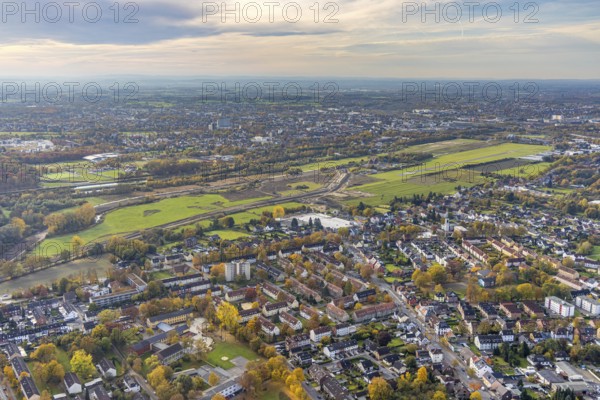
Aerial view, New course of the flood dyke between Münsterstraße and Fährstraße on the river Lippe and Hamm airfield in the district of Heessen in Hamm, Ruhr area, North Rhine-Westphalia, Germany, construction work, construction area, building site, building plots, construction project, construction site, DE, Europe, airfield, Hamm, runway, aerial view, aerial photography, aerial photography, runway, overview, bird's-eye view, overview
Date
Oct 28, 2021
Credit line
Photo12/imageBROKER/Hans Blossey
Reference
BRK25J33_265
Model release
NA
Property release
No
License type
Rights managed
Available size
128.1Mb (11.9Mb) / 27.3in x 18.2in / 8192 x 5464 (300dpi)