Caption
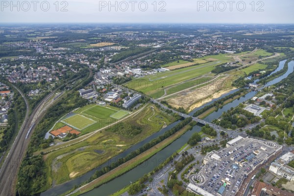
Aerial view, construction site of the Lippe floodplain experience project on the River Lippe and Datteln-Hamm Canal and the course of the flood embankment between Münsterstraße and Fährstraße as well as Hamm-Lippewiesen airfield, EDLH, special airfield, LSC-Hamm, in the Heessen district of Hamm, Ruhr area, North Rhine-Westphalia, Germany, construction work, construction area, building site, building plots, construction project, construction site, DE, Europe, airfield, Hamm, runway, aerial view, aerial photography, aerial photography, runway, overview, bird's-eye view, overview
Date
Aug 24, 2021
Credit line
Photo12/imageBROKER/Hans Blossey
Reference
BRK25J32_356
Model release
NA
Property release
No
License type
Rights managed
Available size
128.1Mb (9.7Mb) / 27.3in x 18.2in / 8192 x 5464 (300dpi)