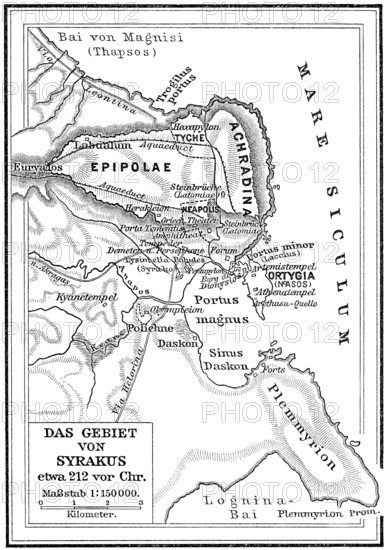
Map of Syracuse, 212 BC
Caption

Map of Syracuse, 212 BC

Date

Jul 05, 2020

Credit line

Photo12/imageBROKER/Heinz-Dieter Falkenstein

Reference

BRK25F39_340

Model release

No

Property release

No

License type

Rights managed

Available size

53,5Mb (3,3Mb) / 12,1in x 17,2in / 3624 x 5157 (300dpi)

Keywords

detail details section sections Detailed image close up close-up close ups close-ups closeups closeup close-up shot Close view close shot deserted no one No People nobody uninhabited empty geography geography antiquity ancient world history orientation navigation Sicily Sicilia Europe Europe's map maps information information Greek harbor harbors port harbour antiquity ancient times Altertum historic historical historically culture cultures old town old towns historic center historic centre historic city centre historic city center historic old town historic part historical old town old city old district Old town area old historic town cultural coast coasts shore shores costal shoreline overview overviews Overlook Overlooking view view of View of overlook outlook facing view into view over city map city maps city plan Southern Europe South Europe european Sicilian heritage heritages geographic geographical classicistic classicist classical classicism classicism town view city view cityscape view of the city city scape city portrait townscape city scapes cityscapes townscapes city portraits ancient Greece ancient Greece ancient Greek civilization plan plans ancient civilization ancient civilizations Province of Syracuse Syracuse Siracusa Southern Italy South of Italy Downtown midtown city center city centre town center Town centre Inner city Inner town in the centre of detail view detailed view View over the city View over the town view on the city view of the town Fleet Italy Historic quarters Historic districts Historic district Historic quarter Coastal BC before Christ B.C.

Please log in to download the high resolution file