Caption
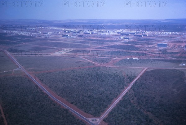
Aerial view of buildings, street network and city map, Brasilia, Federal District, Brazil, 1962, South America
Date
Feb 09, 2021
Credit line
Photo12/imageBROKER/Ian Murray
Reference
BRK25A71_392
Model release
No
Property release
No
License type
Rights managed
Available size
42.4Mb (2.5Mb) / 15.7in x 10.5in / 4697 x 3158 (300dpi)