Title
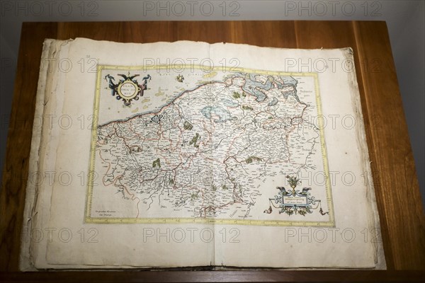
1585 atlas Galliae Tabule Geographicae by 16th-century geographer Gerardus Mercator showing map of the Netherlands
Caption
1585 atlas Galliae Tabule Geographicae by 16th-century geographer Gerardus Mercator showing map of the Netherlands, Belgii Inferioris
Credit line
Photo12/imageBROKER/alimdi / Arterra
Reference
BRK23D27_338
Model release
No
Property release
NA
License type
Rights managed
Available size
34,5Mb (1,4Mb) / 14,2in x 9,5in / 4252 x 2835 (300dpi)