Title
1831 map Carte des Frontieres
Caption
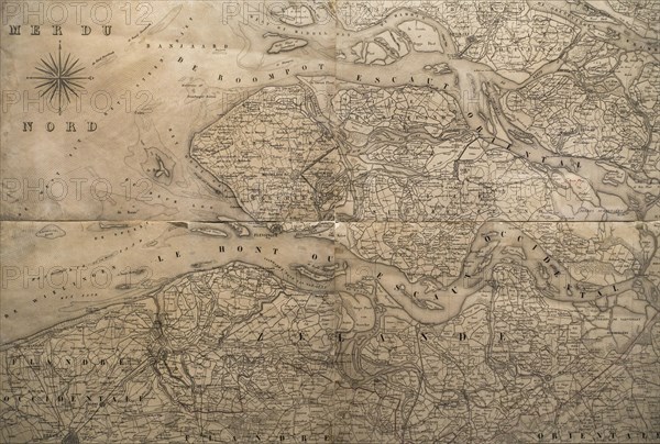
1831 map Carte des Frontieres, showing boundaries between The Netherlands and Belgium, Etablissement geographique de Bruxelles, Philippe Vandermaelen
Credit line
Photo12/imageBROKER/alimdi / Arterra
Reference
BRK23D26_239
Model release
No
Property release
NA
License type
Rights managed
Available size
34.9Mb (2.7Mb) / 14.2in x 9.6in / 4252 x 2870 (300dpi)