Title
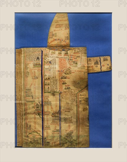
13th century map
Caption
13th century map, itinerary showing route from London to Palestine, part of Historia Anglorum by Matthew Paris, medieval monk and cartographer
Credit line
Photo12/imageBROKER/alimdi / Arterra
Reference
BRK23D24_439
Model release
No
Property release
NA
License type
Rights managed
Available size
42.7Mb (1.7Mb) / 11.4in x 14.5in / 3422 x 4360 (300dpi)