Title
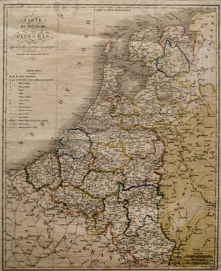
1819 map of the United Kingdom of the Netherlands
Caption
1819 map of the United Kingdom of the Netherlands, Carte du Royaume des Pays-Bas by Ferra aine
Credit line
Photo12/imageBROKER/alimdi / Arterra
Reference
BRK23D19_136
Model release
No
Property release
NA
License type
Rights managed
Available size
40,3Mb (2,8Mb) / 11,3in x 13,8in / 3394 x 4149 (300dpi)