Title
City map
Caption
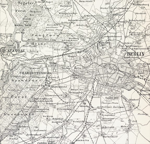
City map of Berlin, Germany, Federal capital, map, cartography, railway lines, surrounding area, districts, Spandau, Charlottenburg, Grunewald, Schoeneberg, historical illustration 19th century, Europe
Date
May 25, 2022
Credit line
Photo12/imageBROKER/Wolfgang Diederich
Reference
BRK23A56_308
Model release
No
Property release
NA
License type
Rights managed
Available size
56,7Mb (3,7Mb) / 15,2in x 14,5in / 4553 x 4350 (300dpi)