Title
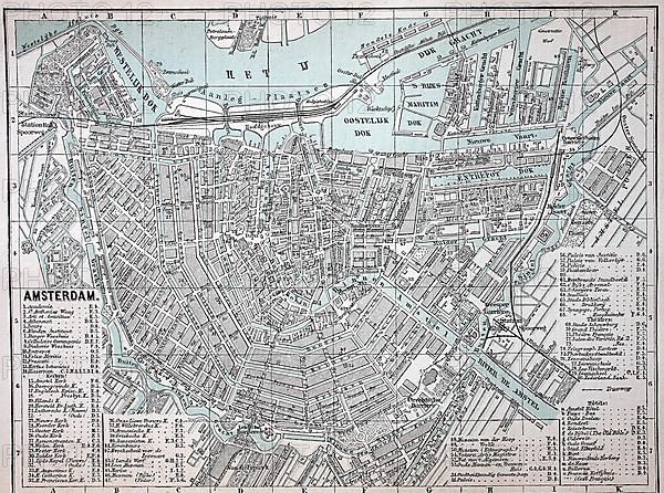
City map of Amsterdam, c. 1880
Caption
City map of Amsterdam, c. 1880, Netherlands, Holland, Historic, digitally restored reproduction of an original 19th century map, exact original date not known
Date
Jul 20, 2022
Credit line
Photo12/imageBROKER/Sunny Celeste
Reference
BRK22D76_365
Model release
NA
Property release
NA
License type
Royalty free
Available size
38,4Mb (12,8Mb) / 14,2in x 10,5in / 4250 x 3159 (300dpi)