Title
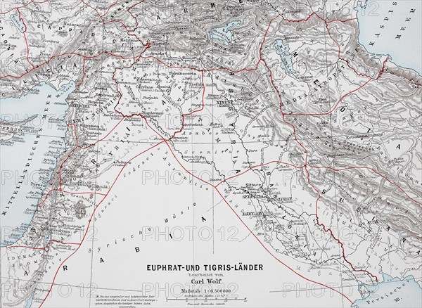
Map of the countries around Euphrates and Tigris from ca 1870
Caption
Map of the countries around Euphrates and Tigris from ca 1870, Babylonia, Arabia, Syria, Historic, digitally restored reproduction of an original from the 19th century, exact original date not known, Asia
Date
Apr 29, 2022
Credit line
Photo12/imageBROKER/Sunny Celeste
Reference
BRK22C90_475
Model release
No
Property release
NA
License type
Royalty free
Available size
50.0Mb (4.4Mb) / 16.3in x 11.9in / 4888 x 3576 (300dpi)