Title
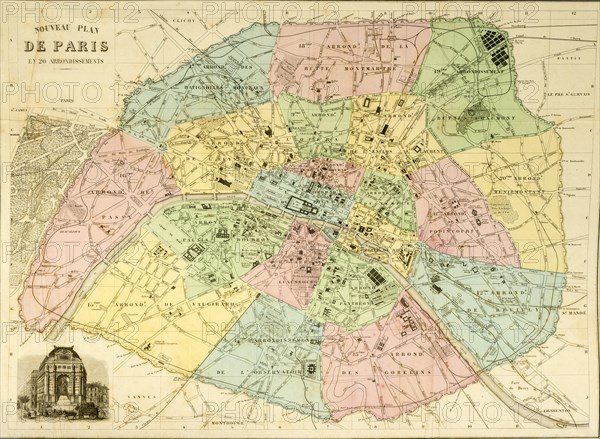
Historical city map of Paris around 1850
Caption
Historical city map of Paris around 1850, France, Europe
Date
Jun 15, 2018
Credit line
Photo12/imageBROKER/Rolf Fischer
Reference
BRK20A02_282
Model release
NA
Property release
NA
License type
Rights managed
Available size
62,4Mb (3,5Mb) / 18,2in x 13,3in / 5456 x 4000 (300dpi)