Title
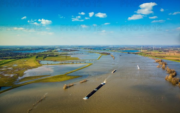
Aerial view of the flooded floodplains in Wesel and Xanten
Caption
Aerial view of the flooded floodplains in Wesel and Xanten, Rhine floods, Wesel, Niederrhein, North Rhine-Westphalia, Germany, Europe
Date
Feb 27, 2016
Credit line
Photo12/imageBROKER/Hans Blossey
Reference
BRK19E67_070
Model release
No
License type
Rights managed
Available size
60,1Mb (2,5Mb) / 19,2in x 12,1in / 5760 x 3644 (300dpi)