Title
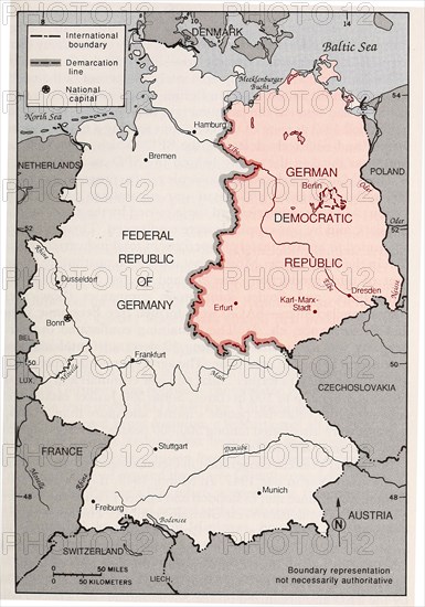
Map of Germany's Post-World War II boundaries
Caption
Map of Germany's Post-World War II boundaries
Date
20th century
Credit line
Photo12/Ann Ronan Picture Library
Reference
ARP24A00_432
Model release
No
Property release
NA
License type
Rights managed
Available size
55.9Mb (3.6Mb) / 12.3in x 17.6in / 3702 x 5277 (300dpi)
Restrictions
Editorial use only.