Title
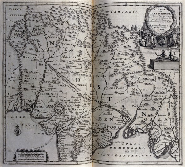
Map of Mughal empire in India circa 1680, 17th century
Caption
Map of Mughal empire in India circa 1680, 17th century. Illustration from voyages made to Persia and India 1727, by Johan Albrecht de Mandelslo (1616-1644). seventeenth-century German adventurer, who wrote about his travels through Persia and India
Credit line
Photo12/Ann Ronan Picture Library
Reference
ARP23A18_402
License type
Rights managed
Available size
60.0Mb (4.7Mb) / 16.0in x 14.5in / 4805 x 4364 (300dpi)