Title
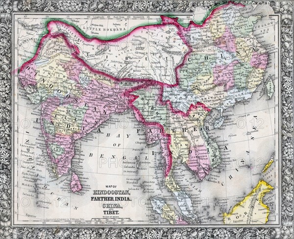
19th Century Map of India, Tibet, China and Southeast Asia
Caption
19th Century Map of India, Tibet, China and Southeast Asia. Dated 1864
Date
1864
Credit line
Photo12/Ann Ronan Picture Library
Reference
ARP18A16_372
License type
Rights managed
Available size
60.0Mb (6.3Mb) / 16.9in x 13.8in / 5074 x 4133 (300dpi)