Title
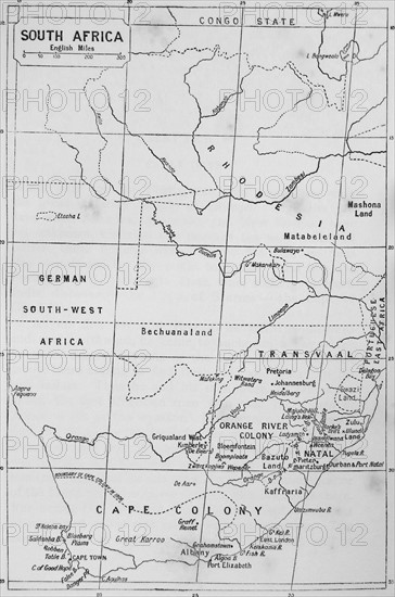
Map of South Africa during the 19th Century
Caption
Map of South Africa during the 19th Century
Date
1820
Credit line
Photo12/Ann Ronan Picture Library
Reference
ARP17A28_002
License type
Rights managed
Available size
60.0Mb (2.1Mb) / 12.4in x 18.8in / 3728 x 5626 (300dpi)