Title
New & Accurate Map of the North Pole, 1747.
Caption
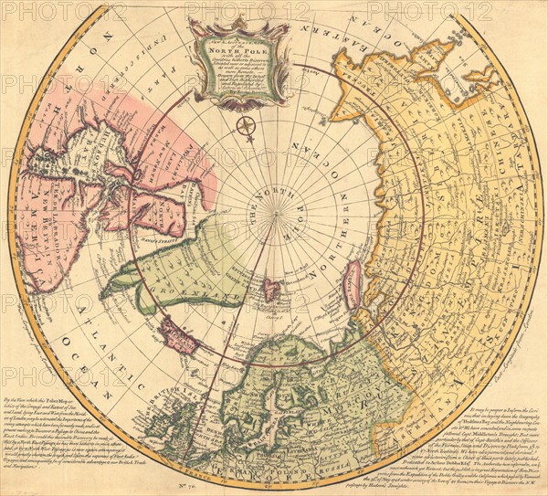
New & Accurate Map of the North Pole 1747. A New & Accurate Map of the North Pole, with all the Countries hitherto Discovered Situated near or adjacent to it as well as some others more remote. Emanuel Bowen.
Date
1754
Credit line
Photo12/Ann Ronan Picture Library
Reference
ARP15A07_149
License type
Rights managed
Available size
50.0Mb (4.2Mb) / 14.6in x 13.3in / 4394 x 3977 (300dpi)