Title
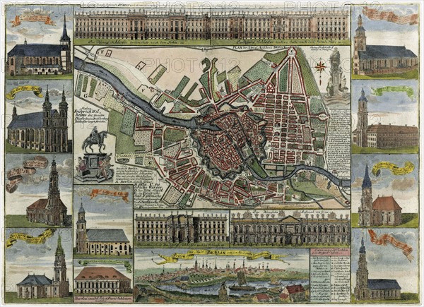
Map of Berlin in the late 17th century
Caption
Map of Berlin in the late 17th century, showing the fortress and numerous churches
Credit line
Photo12/Ann Ronan Picture Library
Reference
ARP11A00_206
License type
Rights managed
Available size
50.3Mb (8.5Mb) / 16.4in x 11.9in / 4920 x 3575 (300dpi)