Title
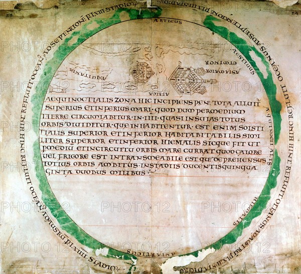
Anglo-Saxon map of 900s
Caption
Anglo-Saxon map of 900s showing a flat earth and the ocean that was thought to surround it. British Museum
Info+
Photos12.com - Ann Ronan Picture Library
Credit line
Photo12/Ann Ronan Picture Library
Reference
ARP07098_390003134
License type
Rights managed
Available size
32.7Mb (2.5Mb) / 11.8in x 10.8in / 3543 x 3226 (300dpi)