Title
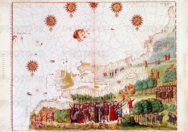
Map of east coast of North America
Caption
Map of east coast of North America from Labrador to Cape Florida and featuring mouth of St Lawrence. Map of pre-1547 based on Jacques Cartier's discoveries of 1534-41
Info+
Photos12.com - Ann Ronan Picture Library
Credit line
Photo12/Ann Ronan Picture Library
Reference
ARP07097_390002456
License type
Rights managed
Available size
25.3Mb (2.5Mb) / 11.8in x 8.3in / 3543 x 2499 (300dpi)