600 résultats pour : Carte géographique
- Page
-
- sur
- 6
Connectez-vous pour plus de résultats
ASI02008_H131157
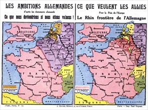
Carte postale éditée par la Ligue des patriotes. C...

LMY23T04_H884KG
Bandits bandits
UMG23A66_397
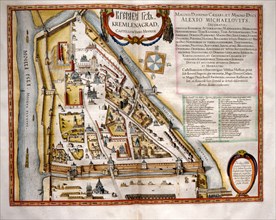
Carte géographique du 17e siècle
UMG23A66_398
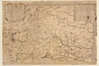
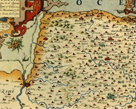
Carte géographique du 16e siècle
UMG23A66_399
Carte géographique du 16e siècle
UMG23A66_391
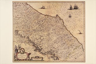
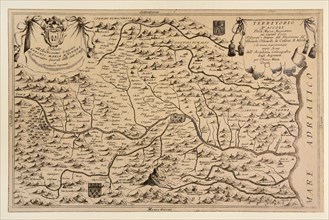
Carte géographique du 17e siècle
UMG23A66_393
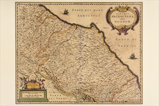
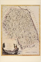
Carte géographique du 17e siècle

UMG23A66_392
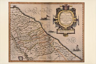
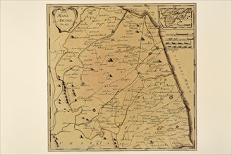
Carte géographique du 17e siècle
UMG23A66_394
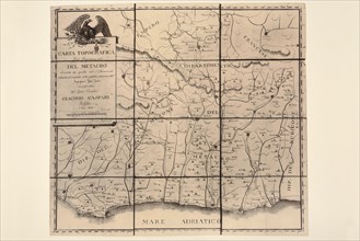
Carte géographique du 17e siècle
UMG23A66_395
Carte géographique du 17e siècle
UMG23A66_396
Carte géographique du 17e siècle
UMG23A66_387
Carte géographique du 19e siècle
UMG23A66_388
Carte géographique du 17e siècle
UMG23A66_389
Carte géographique du 17e siècle
UMG23A66_390
Carte géographique du 17e siècle
UMG23A66_384
Carte géographique du 18e siècle
UMG23A66_385
Carte géographique du 18e siècle
UMG23A66_386
Carte géographique du 19e siècle
COM23A00_223
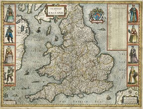
Carte d'Angleterre et du Pays de Galles
GTT23A09_239
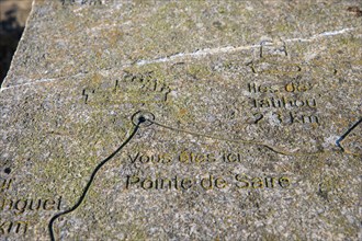
Réville, Manche
BRK23D26_239
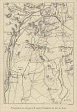
1831 map Carte des Frontieres
PTR23A00_316
Ouvrage "Français et Allemands, histoire anecdotiq...
PTR23A00_284
Ouvrage "Français et Allemands, histoire anecdotiq...
PTR23A00_320
Ouvrage "Français et Allemands, histoire anecdotiq...
PTR23A00_286
Ouvrage "Français et Allemands, histoire anecdotiq...
PTR23A00_258
Ouvrage "Français et Allemands, histoire anecdotiq...
PTR23A00_260
Ouvrage "Français et Allemands, histoire anecdotiq...
PTR23A00_264
Ouvrage "Français et Allemands, histoire anecdotiq...
PTR23A00_263
Ouvrage "Français et Allemands, histoire anecdotiq...
PTR23A00_177
Ouvrage "Français et Allemands, histoire anecdotiq...
PTR23A00_239
Ouvrage "Français et Allemands, histoire anecdotiq...
PTR23A00_272
Ouvrage "Français et Allemands, histoire anecdotiq...
PTR23A00_262
Ouvrage "Français et Allemands, histoire anecdotiq...
PTR23A00_193
Ouvrage "Français et Allemands, histoire anecdotiq...
PTR23A00_207
Ouvrage "Français et Allemands, histoire anecdotiq...
TGB22A00_263
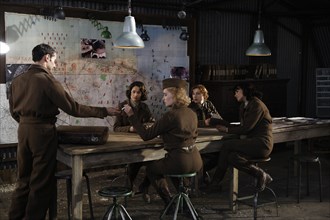
Les Femmes de l'ombre
DGL20A01_132
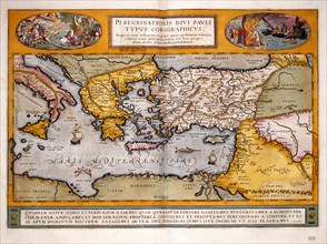
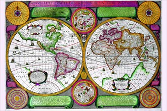
Theatrum Orbis Terrarum
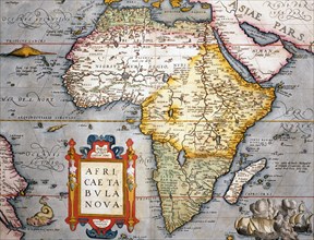
DGL20A01_131
Theatrum Orbis Terrarum
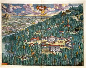
DGL20A01_134
Theatrum Orbis Terrarum
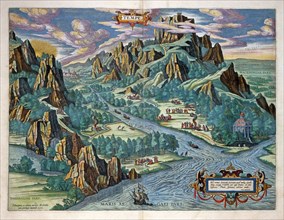
DGL20A01_133
Theatrum Orbis Terrarum
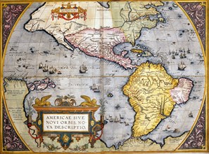
DGL20A01_130
Theatrum Orbis Terrarum
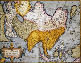
DGL20A01_129
Theatrum Orbis Terrarum
DGL20A01_135
Theatrum Orbis Terrarum
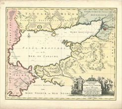
LZT20A45_417
Map, Nouvelle carte geographique de la Mer d’Asof ...
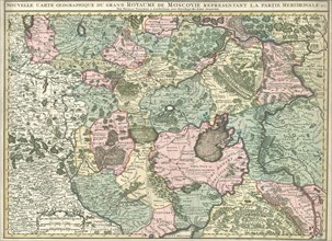
LZT20A47_350
Map, Nouvelle carte geographique du grand Royaume ...
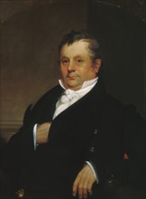
HRM20A43_343
Gideon Tucker, 1830. Creator: William Sidney Mount...

HRM20A43_473
Mrs. Edward Loyd (C. Louisa Foster), ca. 1835. Cre...
UMG20A04_090
Stereographic World Map of the Eastern & Western H...
HRM19G32_025
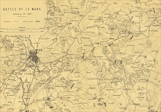
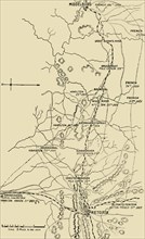
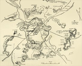
Map of the Battle of Le Mans, 11 January 1871, (c1...
HRM19G32_024
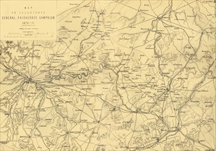
'Map to Illustrate General Faidherbe's Campaign 18...
HRM19G32_276
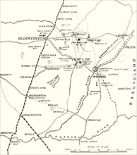
'Map Showing the Lines of Advance from Bloemfontei...
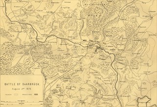
HRM19G32_001
Map of the Battle of Saarbrücken, 2 August 1870, (...
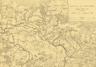
HRM19G32_012
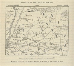
Map of the Battle of Carignan, 30 August 1870, (c1...
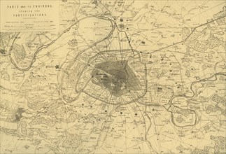
HRM19G32_023
'Paris and its Environs, showing the Fortification...
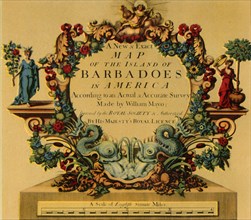
HRM19G32_475
'Cartouche on W. Mayo's Map of Barbados, 1722', (1...
HRM19G31_500
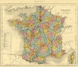
Map of France, c1872. Creator: Unknown.
HRM19G32_013
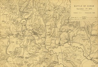
Map of the Battle of Sedan, 1 September 1870, (c18...
HRM19G32_022
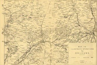
'Map to Illustrate Operations by Orleans', (c1872)...
HRM19G32_156
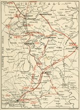
'Map of Northern Natal. Scale 15 Statute Miles to ...
HRM19G32_195
'Bird's-Eye View of the Country Covered by General...
HRM19G32_206
'Movements of Gatacre and French', 1900. Creator: ...
HRM19G32_476
'The Estate of Charles Henry Talbot, Dodderhill, 1...
HRM19G32_003
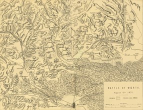
Map of the Battle of Woerth, 6 August 1870, (c1872...
HRM19G32_010
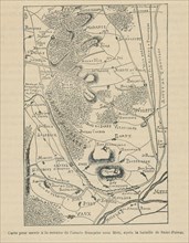
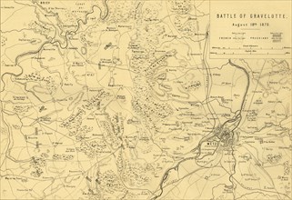
Map of the Battle of Gravelotte, 18 August 1870, (...
HRM19G32_139
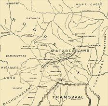
'Matabeleland', 1900. Creator: Unknown.
HRM19G33_186
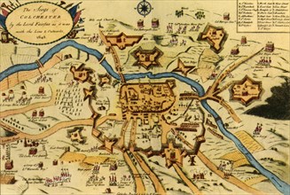
'The Siege of Colchester by the Parliament Forces....
HRM19G32_002
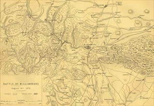
Map of the Battle of Wissembourg, 4 August 1870, (...
HRM19G32_011
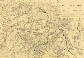
Map of the Battle of Beaumont, 30 August 1870, (c1...
HRM19G32_262
'Balloon Map Illustrating the Battle of Pieters an...
HRM19G32_005
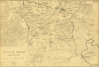
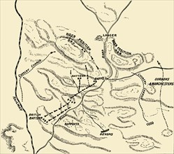
Map of the Battle of Forbach, 6 August 1870, (c187...
HRM19G32_008
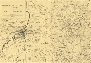
Map of the Battle of Courcelles, 14 August 1870, (...
HRM19G32_055
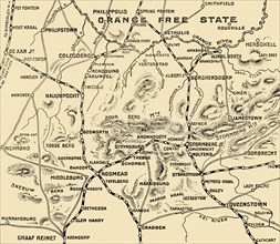
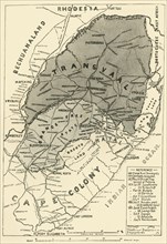
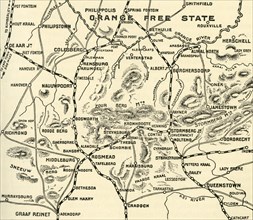
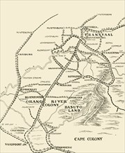
'Map of the Boer Republics', 1900. Creator: Unknow...
HRM19G32_132
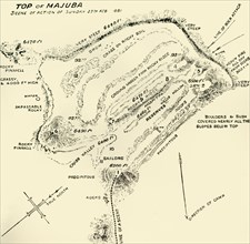
'Top of Majuba - Scene of Action of Sunday 27th Fe...
HRM19G32_009
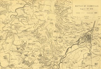
Map of the Battle of Vionville, 16 August 1870, (c...
HRM19G32_018
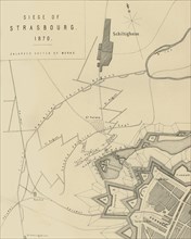
Map of the Siege of Strasbourg, 1870, (c1872). Cr...
HRM19G32_098
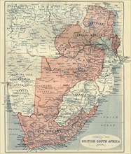
'General Map of British South Africa', 1900. Creat...
HRM19G32_007
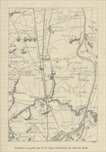
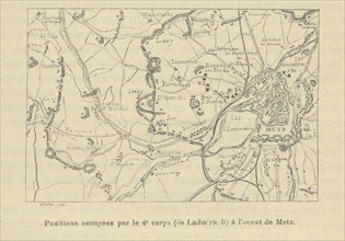
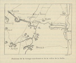
'Plan of Metz and its Fortifications', c1872. Crea...
HRM19G32_289
'The Tentacles at Work', 1901. Creator: Unknown.
HRM19G32_379
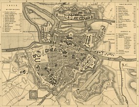
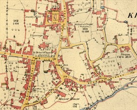
'Plan of Canterbury in the Sixteenth Century', (19...
HRM19G32_480
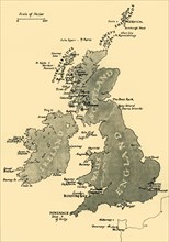
Map of the British Isles, 1946. Creator: Unknown.
HRM19G28_225
Forts Zeelandia and Provintia and the City of Tain...
HRM19G32_268
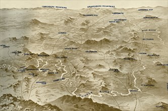
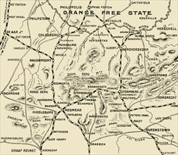
'Map Illustrating the Operations on the Orange Riv...
HRM19G32_312
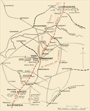
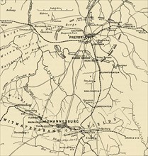
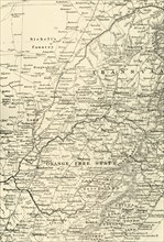
'Map Showing District Between Johannesburg and Pre...
HRM19G32_369
'The Blockhouse System', 1902. Creator: Unknown.
HRM19G33_208
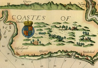
Chart showing windmills as landmarks on the north-...
HRM19G32_188
'Map Illustrating the Operations on the South of t...
HRM19G32_197
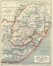
'Map of the Seat of War', 1900. Creator: Unknown.
HRM19G32_324
'Map Illustrating the Eastward Move from Eerstefab...
HRM19G32_465
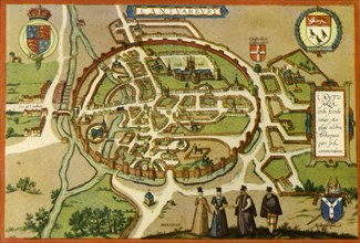
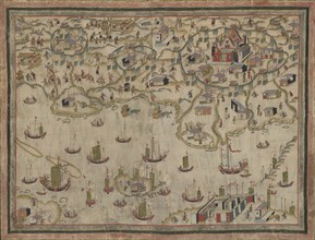
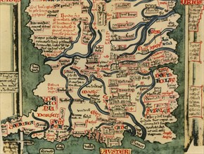
'Matthew Paris's Map of Great Britain, c.1250', (1...
HRM19G32_478
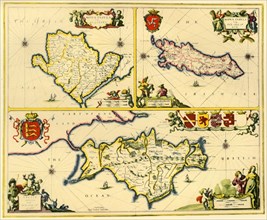
'The Isle of Anglesey, The Isle of Man and the Isl...
HRM19G32_159
'Plan of battle of Elandslaagte', 1900. Creator: U...
HRM19G32_213
'Plan of Ladysmith and Chronicle of Events', 1900....
HRM19G32_477
'The Village of Kineton, Warwickshire', 1885-1887,...
HRM19G32_473
'Saxton's Map of Norfolk, 1574', (1944). Creator:...
HRM19G32_127
'Map of the Seat of War', 1900. Creator: Unknown.
HRM19G32_308
'Map Illustrating General Buller's Campaign in Nat...
HRM19G32_391
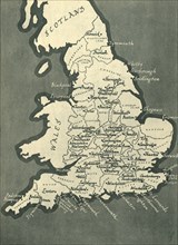
Map of England, with principal towns and cities, 1...
HRM19G32_474
'Cartouche by A. Ryther on Saxton's Map of Durham,...
HRM19G31_434
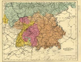
Map of South Germany and Bavaria, c1872. Creator: ...
HRM19G32_027
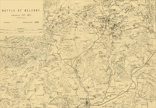
Map of the Battle of Belfort, 15 January 1871, (c1...
- Page
-
- sur
- 6