Sujet
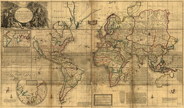
World Map 1732
Légende
Herman Moll (1654 – September 22, 1732), was a cartographer, engraver, and publisher. Moll moved to England in 1678 and opened a book and map store in London. He produced maps from his studies of the work of other cartographers. One of Moll's maps of the Island of Newfoundland, published in the 1680s, showed Pointe Riche, the southern limit of the French Shore to be situated at 47°40' north latitude. In 1763 the French attempted to use this map to establish their claim to the west coast of Newfoundland, arguing that Point Riche and Cape Ray were the same headland. Governor Hugh Palliser and Captain James Cook found evidence to refute Moll's claim and in 1764 the French accepted the placement of Pointe Riche near Port au Choix.
Crédit
Photo12/Universal Images Group
Notre référence
UMG20A01_075
Model release
NA
Property release
NA
Licence
Droits gérés
Format disponible
44.1Mo (6.3Mo) / 43.2cm x 25.6cm / 5100 x 3024 (300dpi)